Learn about the project
Discover why we are bringing change to the Quarter
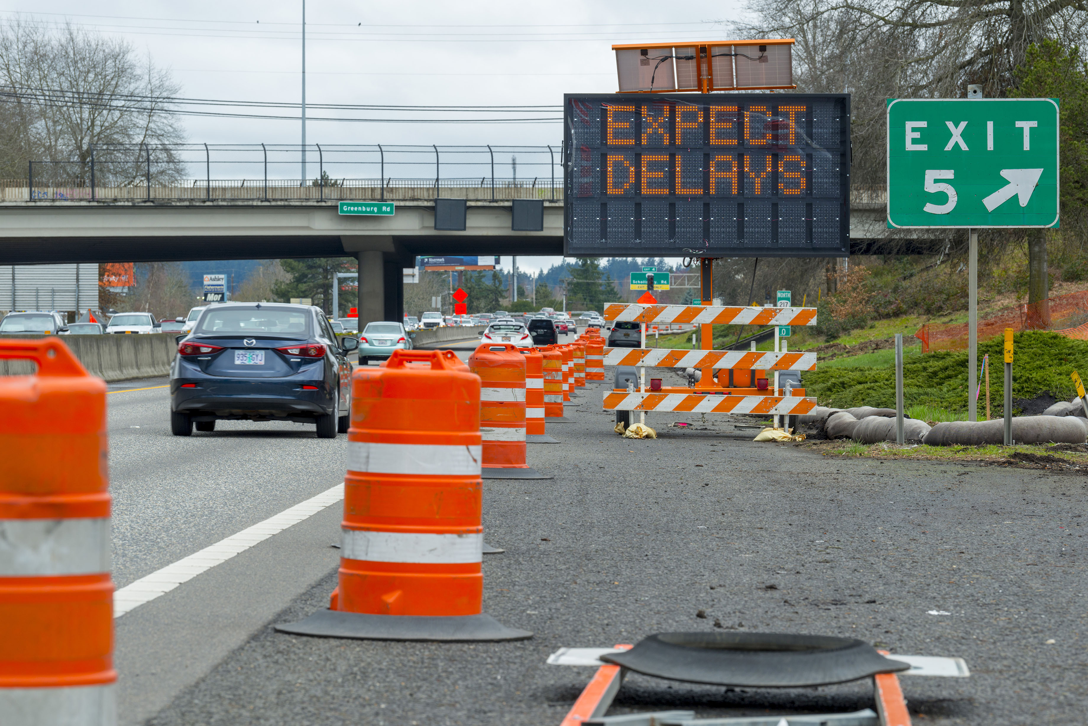
I-5 closures are coming soon. Visit the Construction Travel Impacts page to learn more.
 Return to Home Page


Discover why we are bringing change to the Quarter
Learn about major I-5 closures coming soon
Find opportunities to engage
See the latest project updates, newsletters and more
7/01/2026 - Progress continues on I-5 Rose Quarter construction with a full overnight closure of I-5 and more local street closures coming in July.
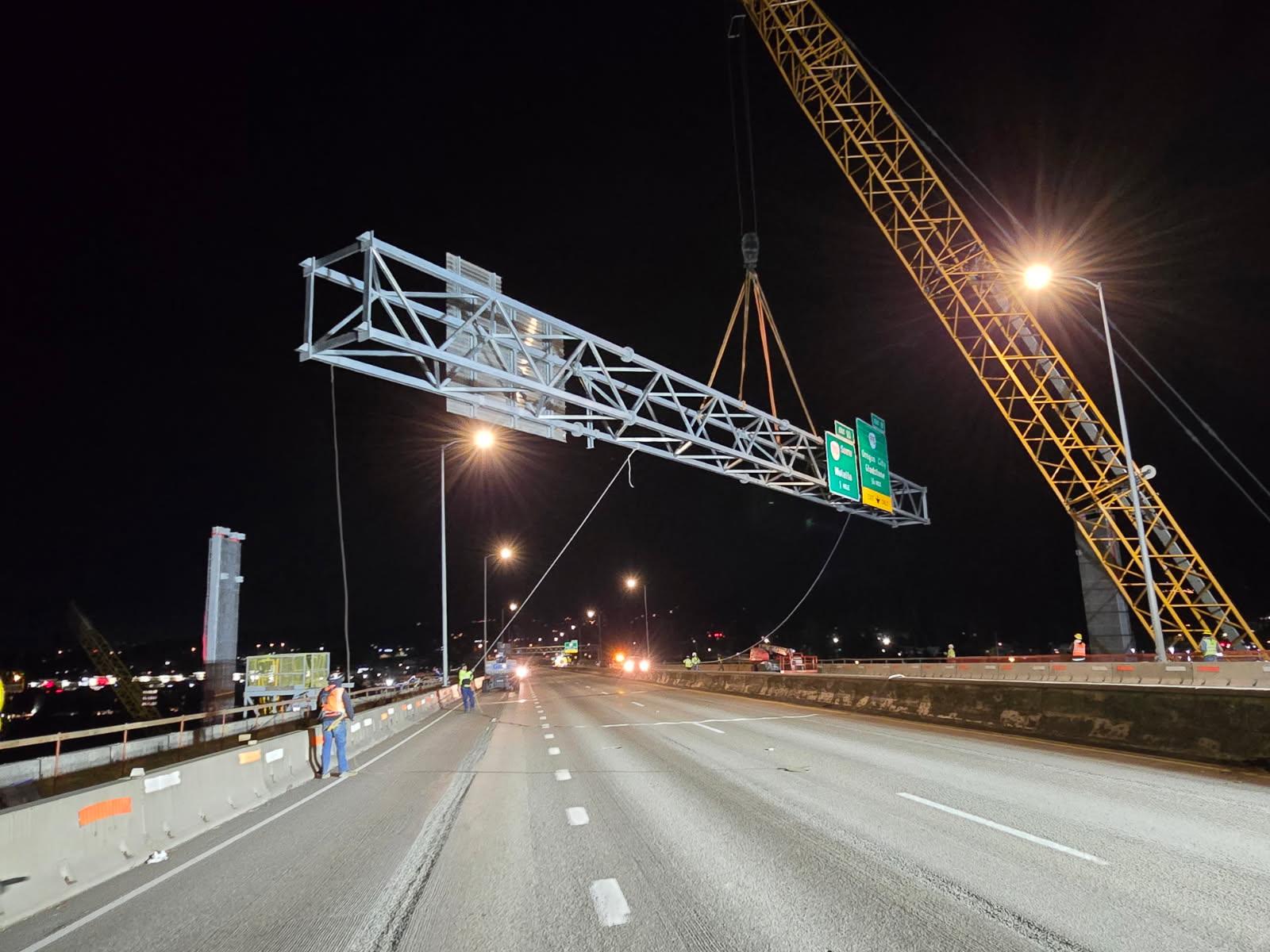
6/23/2026 - All lanes of Interstate 5 northbound and southbound in the Rose Quarter will close overnight for up to 14 hours July 11-12 to install a new overhead sign structure near the Oregon Convention Center.
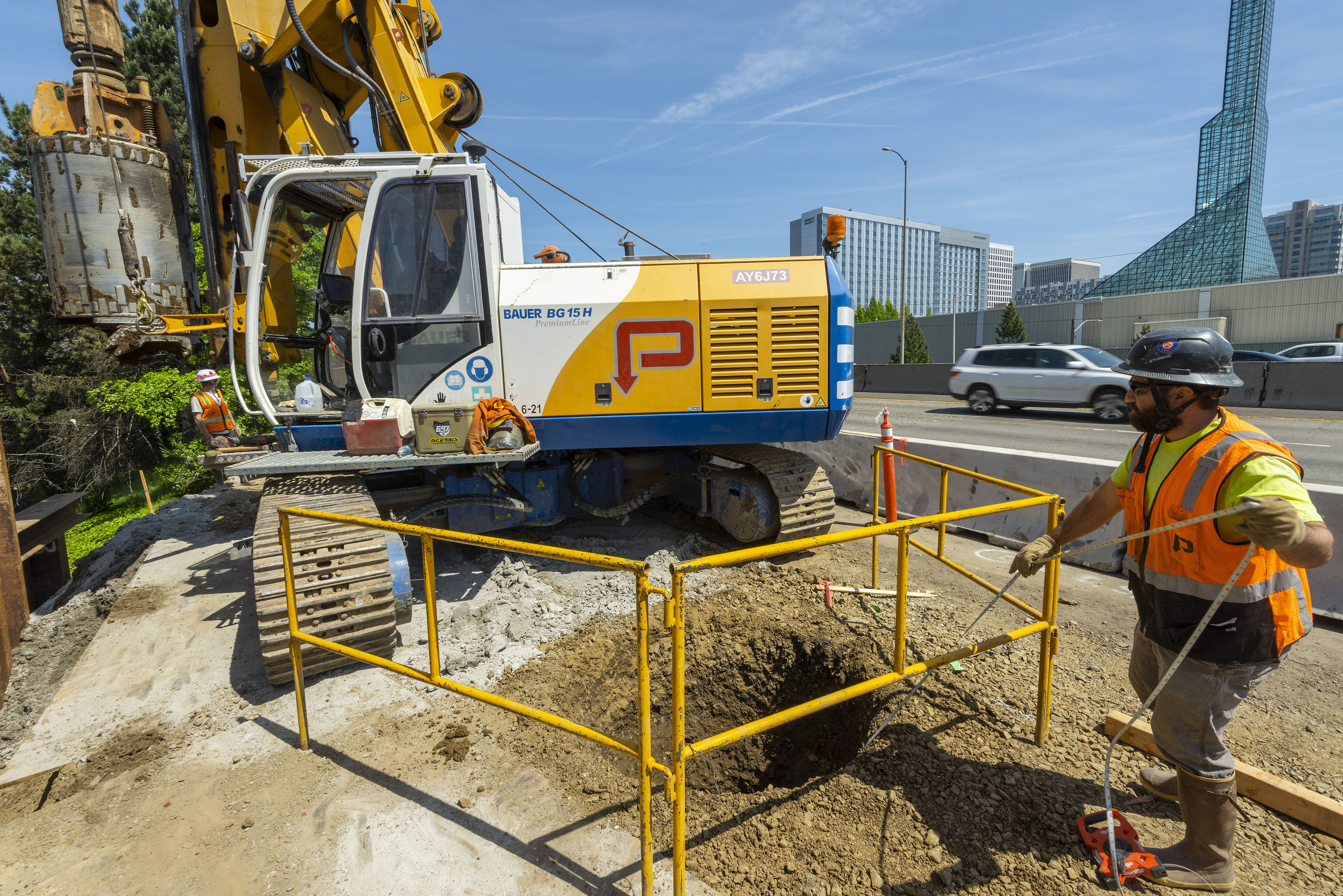
5/04/2026 - All southbound lanes of Interstate 5 in the Rose Quarter will close around-the-clock for up to five weeks starting Sept. 11 as construction crews work 24 hours a day to conduct critical repairs and improve safety.
Call us at 503-470-3127 or email us at i5rosequarter@odot.oregon.gov with any questions or comments. We make every effort to respond to inquiries within five business days.
Stay in the loop by viewing our past email updates or by signing up for our mailing list and text alerts.
Learn more about the people who make this project possible


